Photo Index
Maps
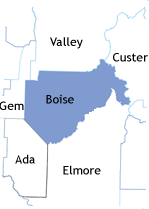
Counties 1864, Idaho Territoy
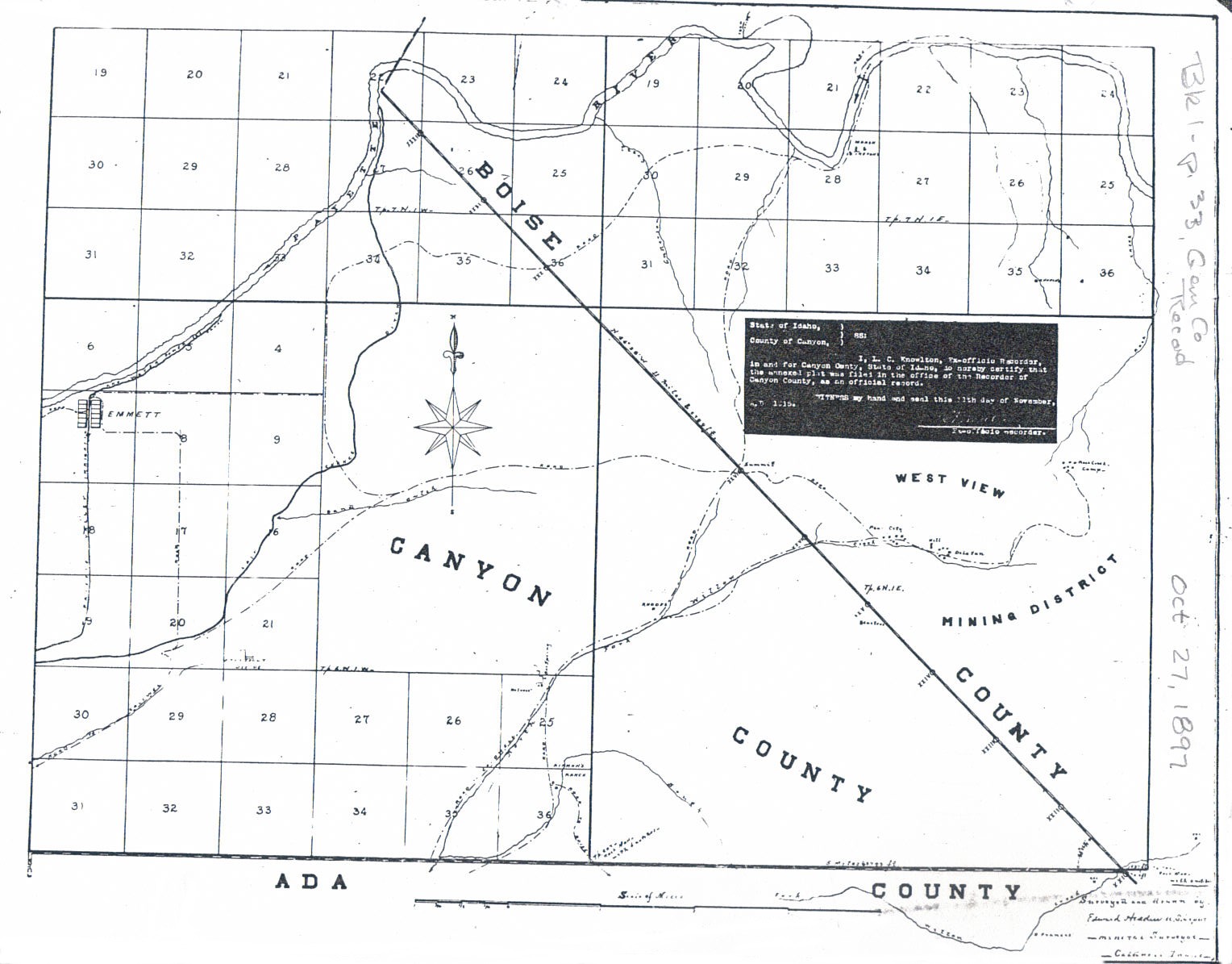
partial county line map, 1897 -- (Book 1, p. 33, Gem County Records) showing line between Canyon & Boise Counties and the Westview Mining District (Pearl) - now Gem County
Historic Photos
Reed Sawmill and Logging photos, Dry Buck 1892f; Warners Mill, Cascade; Pioneerville and Grimes Creek; Payette River log drive - Hugh Hartman collection, thanks for sharing! (note: Hartmans administer a great facebook group, "History of Boise 1863 to Present")
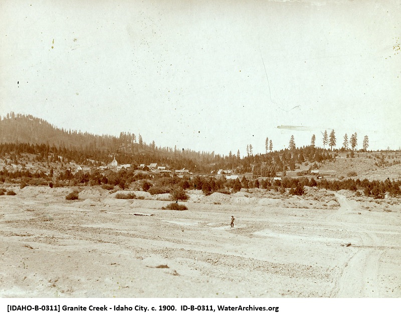
1900 Granite Creek, Idaho City in background
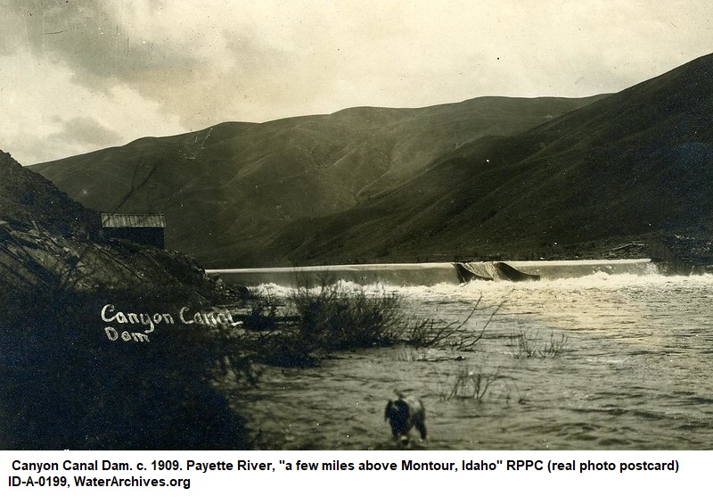
1909 Payette River, Canyon Canal Dam, a few miles above Montour
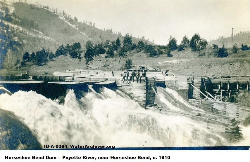
1910, Horseshoe Bend Dam
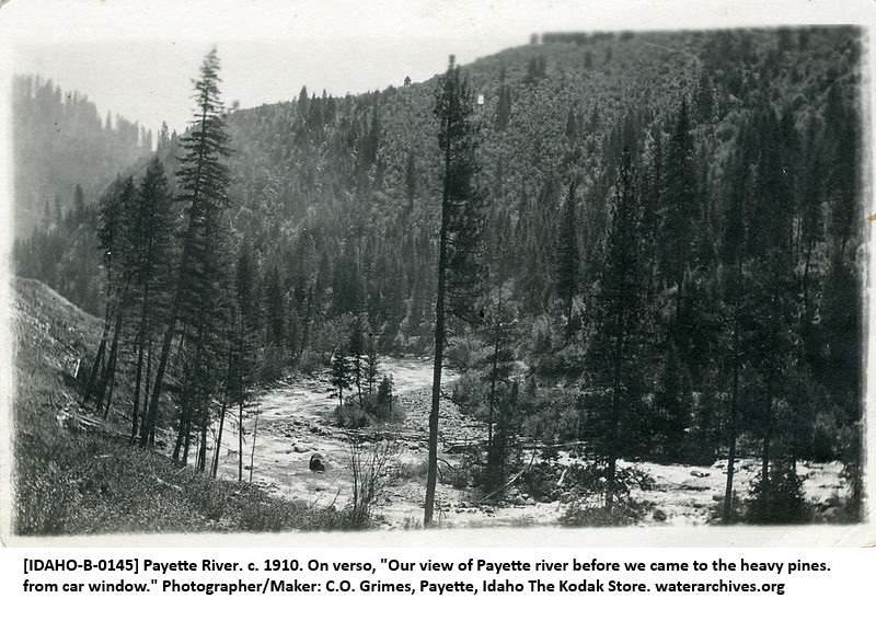
1910, Payette River
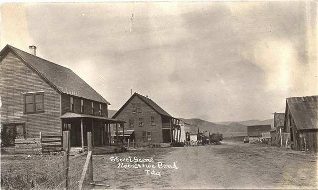
1911, Horse Shoe Bend Street Scene
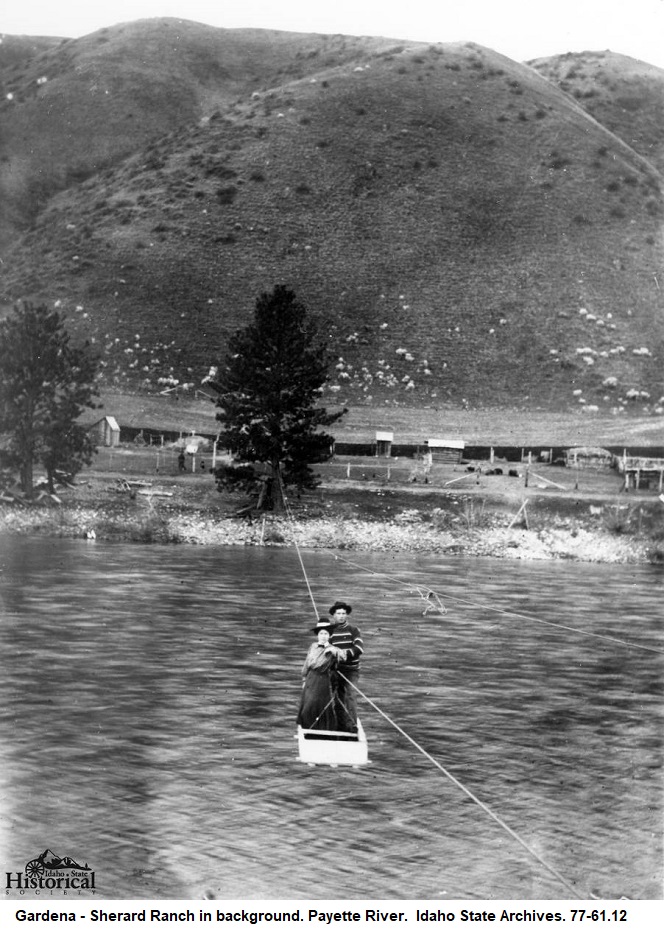
Gardena-Sherard Ranch Payette River Crossing
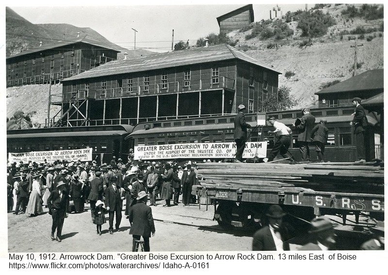
1912, Arrowrock Dam Excursion
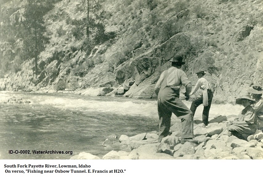
Fishing near Oxbox Tunnel , South Fork Payette River, Lowman
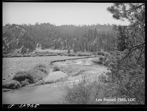
1941 Scene in Garden Valley
from Library of Congress
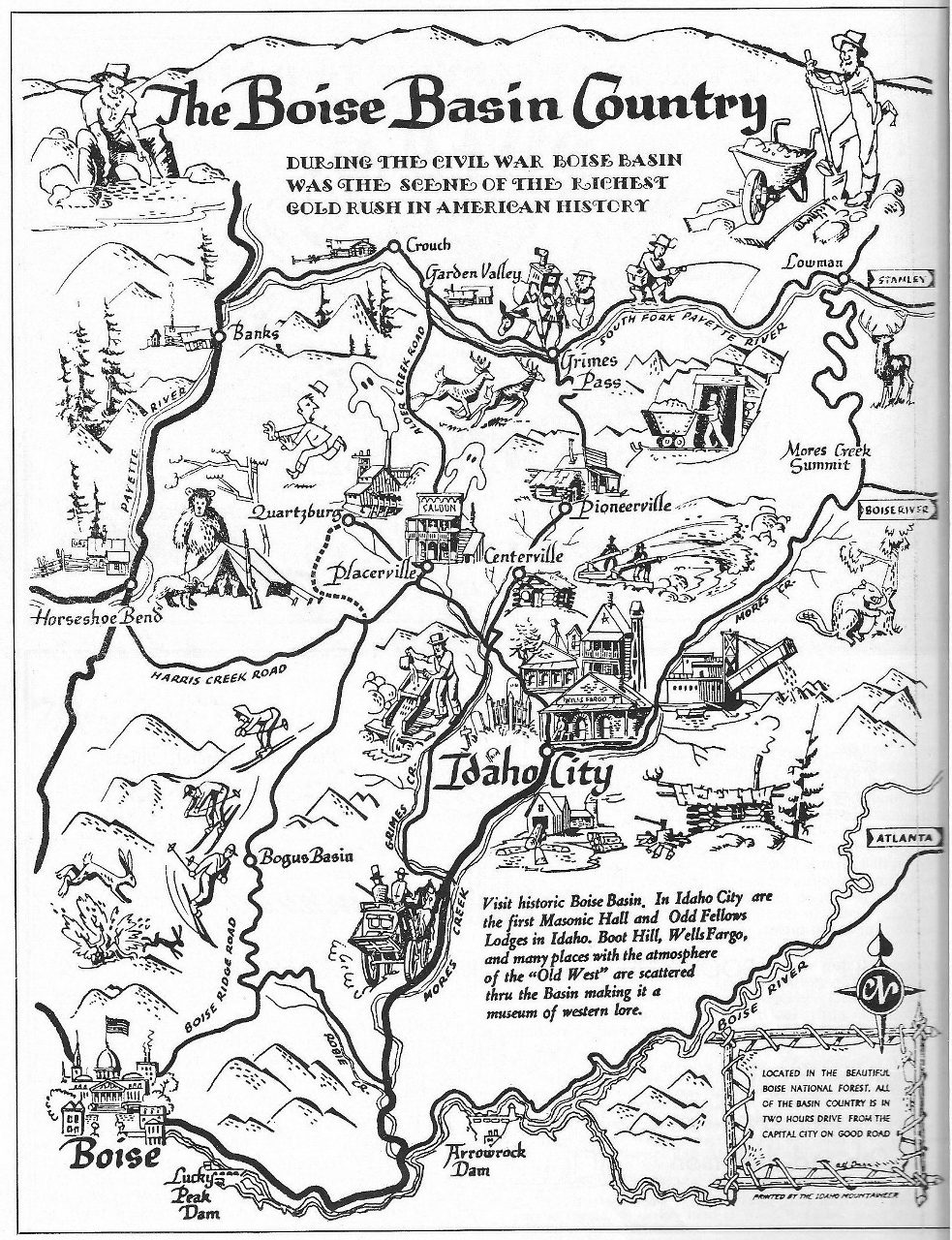
1954, Boise Basin, Scenic Idaho, 1954
Around the County
Banner Summit
Brownlee School
Harris Creek Toll Gate site
Placerville City Hall and signs
Placerville - Boise Basin Merc
Placerville - Magnolia Saloon
Historic Postcards
Links to Digital Collections
Library of Congress,over 2700 Photos, Prints & Drawings for Idaho
Boise State Digital Collection
Idaho State Historical Society Digital Collections
Idaho Cities Old Main Street Postcards
University of Idaho - Archival Idaho Photos, ~ "Digital Memories"
Denver Public Library
Northwest Historical Postcard Collection, University of Idaho
Mountain West Digital Library

|
 |
 |

Copyright 1996-2024 The USGenWeb Project, IDGenWeb, Boise County